Known as the “Crystal Eye” to the Inuit, Pingualuit Crater was once the destination for diamond-seeking prospectors. But the real treasure is the stories its deep waters can tell.
T
The plane banked to the right, hard. As we took a first sweep at the runway – or, rather, the short stretch of bumpy land in the Arctic tundra that would serve as one – an alarm sounded, the lights above the emergency exits flashed red and the sound of the aircraft’s engines roaring back into action filled the main cabin. My stomach lurched
It was an exhilarating introduction to the far north of Quebec, in a region known as Nunavik. Comprising the top third of Canadian province (larger than the US state of California and twice the size of Great Britain) fringed by frayed edges of a peninsula known as Ungava, most people don’t even know it exists. But that wasn’t always the case.
Back in 1950, this area was splashed across newspapers globally and pegged as the eighth wonder of the world. Not because of the wilderness, and not due to any manmade structure, but because of the distinct land feature I was now flying over enroute to take another shot at the runway: Pingualuit Crater.
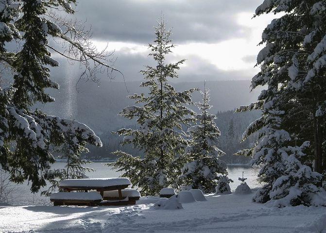
“The name is Inuktitut for the skin blemishes or pimples caused by the very cold weather,” explained Isabelle Dubois, project coordinator for Nunavik Tourism, who had previously only visited the crater in winter when the landscape was covered with snow.
I looked out of the window to distract myself from our second landing attempt and thought how apt a moniker it was. The tundra here is pockmarked by clefts, fissures and depressions filled with tiny pockets of water. Yet amid the myriad indentations, the eponymous crater stood out significantly.
With a diameter of nearly 3.5km and a circumference well over 10km, it wasn’t only its size that distinguished it, but also its symmetry. Almost perfectly circular and filled with water, the crater seemed as though a giant had discarded a compact mirror on the ground, which our tiny Twin Otter aircraft was now reflected in, appearing as no more than a tiny speck of dust.
With a few bumps, more warning alarms and a sudden and dramatic halt, we landed, just a couple of kilometres from the edge of this curio. We would stay at Manarsulik camp, a cluster of five solar-powered cabins and the official base camp of anyone venturing into Pingualuit National Park, one of the remotest national parks in the country.
You may also be interested in:
• Canada’s little-known geological wonder
• Canada’s last Arctic village?
• Norway’s icy marvel of engineering
As we unpacked the plane (there are no porters or staff here) and set ourselves up inside the warm cabins, I chatted with Pierre Philie, a French cultural geographer with a strong interest in anthropology and resident of Kangiqsujuaq (Nunavik’s most northern settlement and gateway to this geographical wonder). He was sent begrudgingly on assignment to this part of Quebec 40 years ago, fell in love with it and a local woman, and never left.
Philie showed me a copy of a black and white aerial photograph of Pingualuit. It was taken on 20 June 1943 by one of the US Army Air Force officers who spotted it. As I wondered what the officer must have made of it back then, Philie began to explain a little more about the crater.
“It was first known to anyone from the Western world that year, during World War Two, when fighter pilots spotted it and used it as a navigational aid. But they didn’t share it with the rest of the world until the war was over,” he said.
When they did, in 1950, one of the first people to be mesmerised by it was a prospector from Ontario called Fred W Chubb. He was convinced the landmark was caused by a volcano, which would likely mean diamonds lay within it. He asked the advice of the then-director of the Ontario Museum, Dr Meen, who, equally captivated, journeyed there with him to investigate (it’s the reason that for a short time Pingualuit was known as Chubb Crater) – but the volcano theory was eventually dismissed.
“Now we know beyond doubt that it is a meteor crater,” said Philie, as the sun began to set over Manarsulik Lake, located about 2.5km from Pingualuit, leaving the edge of the crater as faint as a watermark on the dazzling pink horizon. “Tomorrow we shall see it.”
The next day began at sunrise with a stroll among great shards of rocky clitter. Some, Philie explained, were large chunks of granite and broken bedrock (relics from glaciation during the last Ice Age); others were examples of impactite, formed as a result of melting during impact. The latter were ink black and covered with tiny holes, evidence from when the minerals within liquified and bubbled during the heat and pressure of the collision.
Its impact is estimated to have been 8,500 times stronger than the A-bomb dropped on Hiroshima
“The impact happened 1.4 million years ago,” confirmed Philie, as we ascended the lip of the rim. “Looking at the crater’s width and depth [around 400m], its impact is estimated to have been 8,500 times stronger than the A-bomb dropped on Hiroshima.”
That fact was remarkable. But finally reaching the edge and gazing down on the gaping hole of Pingualuit, where the lake inside sparkled with ice that encrusted two thirds of it – despite it being July – was even more astounding.
Of course, the Inuit knew about it before the Westerners came to look for diamonds,” said Markusie Qisiiq, Pingualuit Park director and guide. “They called it the Crystal Eye of Nunavik.”
From where I stood, under an impossibly blue sky dotted with as many clouds as the tundra was with “blemishes”, that name seemed to fit best of all.
As we made our way over the rough ground, circling the lake, Philie became increasingly animated. He spoke about the clarity of the water inside – which is fed only by rain and thought to be the second purest water in the world (only more transparent is Lake Mashu in Japan); about the mystery of the Arctic char that live within it – which scientists still can’t agree on how they got there as there’s no streams running in or out, and who have turned to cannibalism to ensure their own survival; and about evidence that shows that as well as the Inuit, another people roamed here too at least 1,000 years before them.
“The landscape is a living book,” he concluded. “There is so much we can learn if we take the time to read it.”
In recent years people have been coming to do just that.
In 2007, a team of researchers from Laval University in Quebec, led by Professor Reinhard Pienitz, visited in winter to take samples from beneath the water. Pienitz described it then as a “scientific time capsule” and one that, even as they continue to learn more about it, can reveal clues about past episodes of climate change and how ecosystems adapted under pressure.